My son recently gave me a fitbit Versa 2. He’s coming round to set it up for me. I tried and failed. The plan is to monitor my cycling mileage and possibly heart, sleep and diet.
The cycling mileage will be to track how realistic it is for me to cycle 300 miles in 30 days. I volunteered to raise money for Cancer Research UK this September and 300 miles is the goal.
I could probably use the ebike’s app, Fazua, or even Google map my journeys, but I like the idea of looking at my fitbit on the road as I rack up some miles. The Ordnance Survey map of Ireland North will be my inspiration.
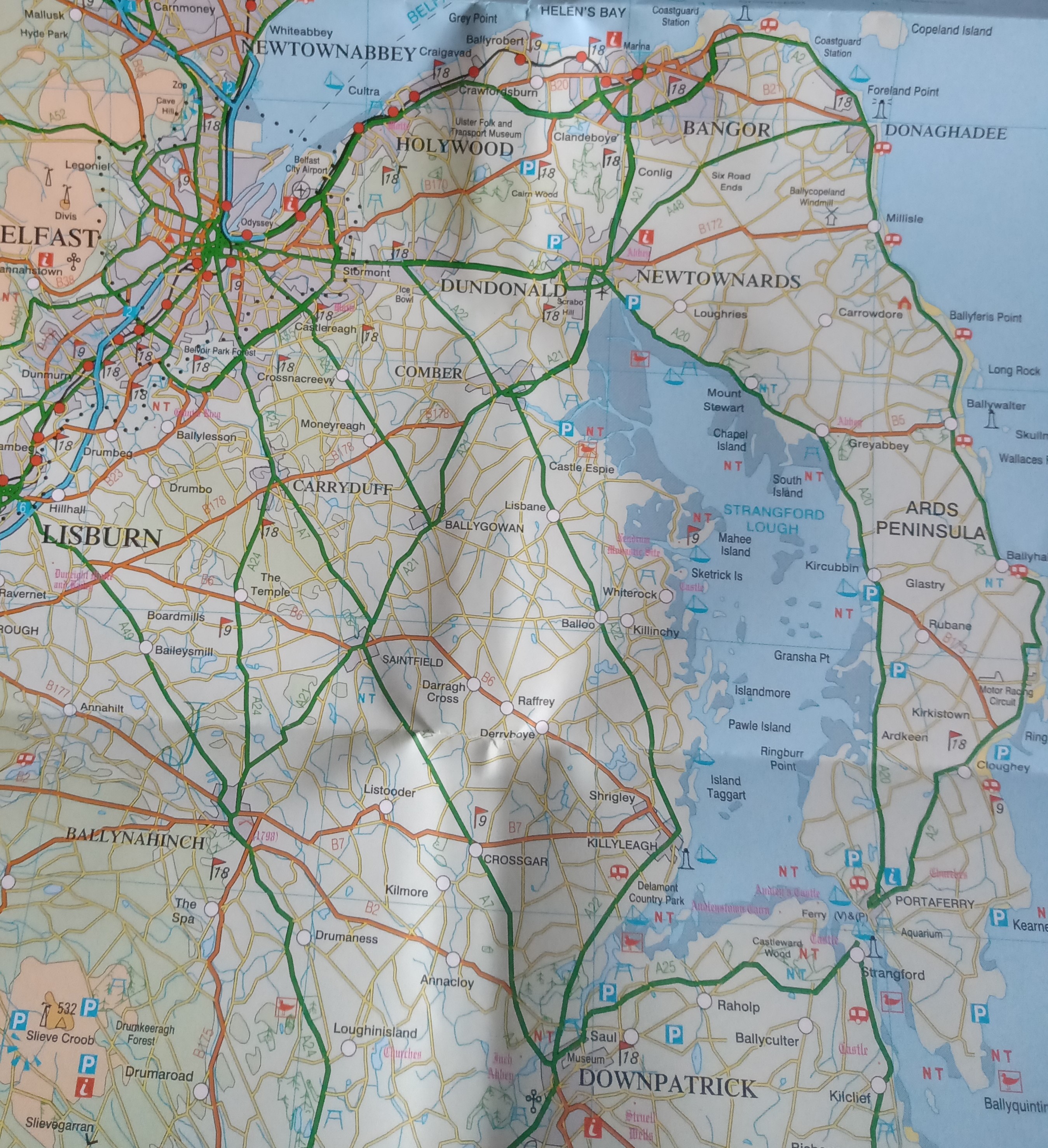
There is so much I haven’t seen, and a bike is the best way to take a long look at the scenery and wildlife. I will probably head for some watery locations in County Down. Strangford Lough isn’t too far away, but lacks a rail connection.
The rail network is fairly limited with a fraction of the destinations that were available in the early 1900s. If you live in Fermanagh, Tyrone and most of Derry you have no rail network and have to travel by road.
I have been combining rail and bike travel recently, train to Lisburn then cycle back to Belfast along the Lagan towpath as far as Cutters Wharf pub. Seven miles is about my limit at the moment, but I will have to up that to at least 10 miles by September. Newry or Larne would provide a bit of a challenge with the train as insurance if the legs give out.
